A View from Above
Drones are lauded as game-changing tech for the construction industry and the architectural/engineering/consulting sector. Some say the new technology will revolutionize the industry. Inspections, surveys, maintenance planning, and traffic studies will be provided faster, cheaper, and better.
In an article for Industry Today in October 2019, Brian Nordmann, the Chief Information Officer of Dudek, notes that drones are one of the few new technologies embraced by the A/E/C and construction industries.
“Today, a growing number of disciplines within construction projects – including designers, surveyors, environmental consultants, builders and inspectors – are using drones in the field for aerial photography, volumetric analysis, topographical mapping and more,” Nordmann wrote.
But are drones a magic bullet or just a really neat tool? Who is using drones? How frequently? And what are the most common types of projects in the A/E/C sector?
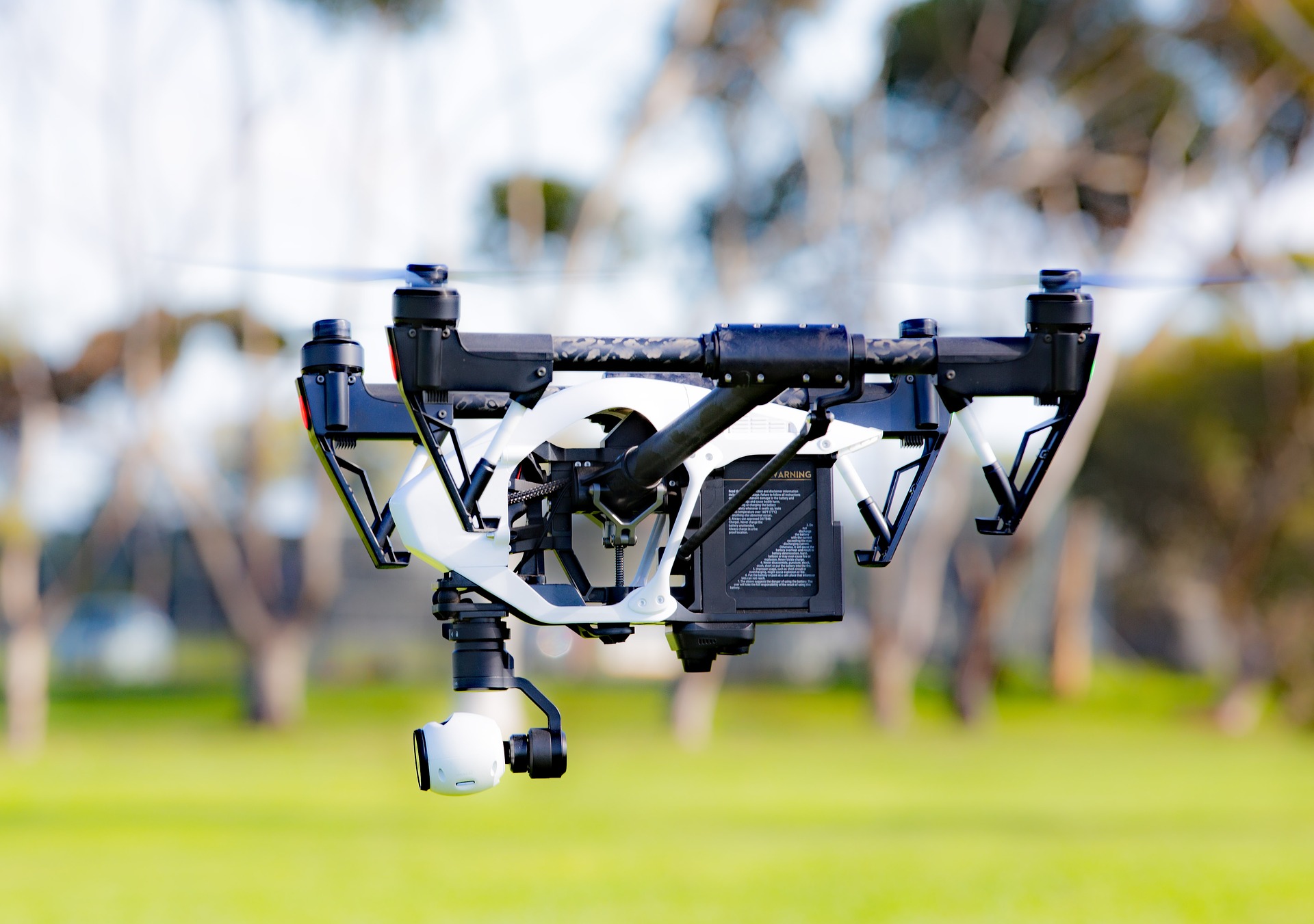
Cheaper than a helicopter, aerial photography and surveying are some of the markets being cornered by drones. (Source: DroneImagineNation)
IMS reviewed its data on consulting-related procurements from public agencies to get a view from above and see how, where, and why drones are being deployed. These findings come from IMS research on current RFPs/RFQs and future Advance Notice information on upcoming projects for A/E/C clients.
Finding No. 1: The use of drones for professional services contracts is growing, but slowly. IMS found dozens of contracts, not hundreds or thousands. IMS covered three drone-related projects in 2015 and four in 2016. In 2017, there were still only eight RFPs/RFQs for drone-related professional services.
The number peaked in 2018, with 17 projects where drones were a major part of the scope of work. There have been at least nine so far in 2019. Of course, drones are used in many projects without being the focus of an RFP. Construction managers use drones for monitoring stockpiles of materials. Energy engineers inspect their solar farms. Architects can see the view from the 30th floor before the project breaks ground.
Finding No. 2: Many of the projects are for natural resource management and biological studies. From 2017-2019, at least 30 percent of the drone-related projects were for ecological/natural resource/biological services.
For example, the Maine Department of Marine Resources released an RFP in 2018 for coastal elevation and volumetric mapping services via unmanned aircraft systems, as part of a sand movement assessment project at important beaches in southern Maine (IMS 422652). In Kentucky, the Department of Fish and Wildlife sought a consultant to conduct an elk population demographics survey using an unmanned aerial system/drone services (IMS 371329).
Many of these types of projects employ supplemental technology like infrared cameras. (Also useful: technology for volumetric calculations or 3D visualizations.)
In Ohio, Great Parks of Hamilton County issued an RFP in March 2018 for a consultant to conduct a drone infrared deer survey in Hamilton Woods (IMS 418757). The County of Chelan, Wash., issued an RFQ for drone-based thermal infrared imagery data collection on the Wenatchee and Entiat Rivers to capture ESA-listed salmonid overwintering conditions (IMS 445753).
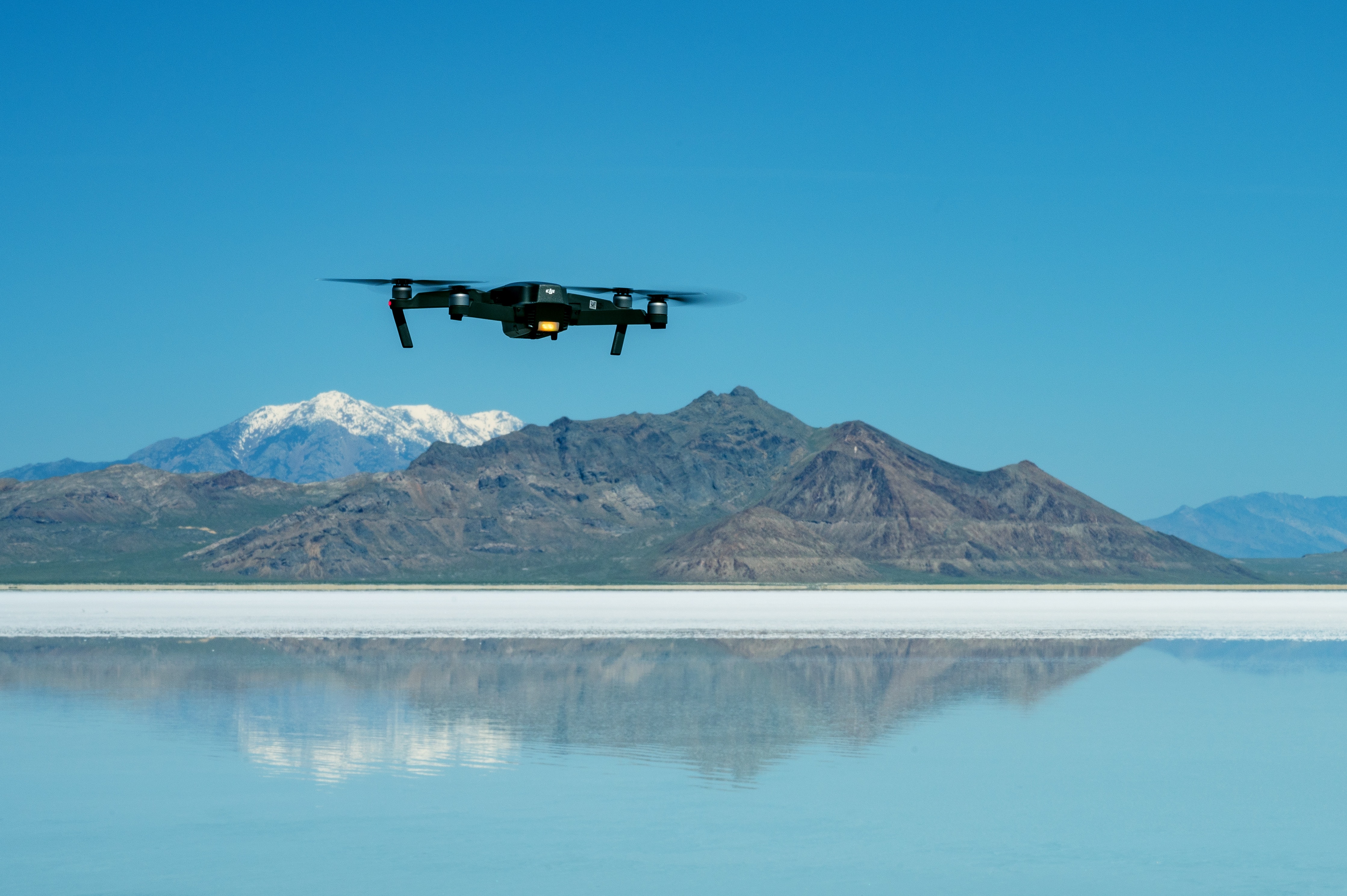
Hard-to-reach areas are prime places to deploy drone technology. (Source: Brett Sayles)
Finding No. 3: Drones provide access to areas that are dangerous (after a hurricane or other disaster) or difficult to reach. They were used in Jacksonville, Fla., for example, to conduct storm damage assessments for transmission systems and circuit inspections (IMS 423864).
Drones made it easier to inspect elevated water tanks in Fulton County, Ga. (IMS 431406-1). And they were used to inspect landfills in Texas (IMS 475585), as well as to support coastal resilience projects along the rocky Maine shoreline (IMS 461001).
Finding No. 4: The transportation industry sees the potential in drones. The New England Transportation Consortium sought a consultant to provide guidance regarding best practices when incorporating unmanned aerial systems into daily operations for inspections, asset management, incident response, and other applications (IMS 449197). Columbus, Ohio, planned traffic safety studies with surveying and data collection by drones (IMS 426924-1).
Finding No. 5: Less than 10 percent of the drone projects were for site mapping and surveying. Yes, there were RFPs/Qs for these services – mapping and imagery services for the Florida Department of Transportation (IMS 424934) and drone mapping and site mapping in Cary, N.C. (IMS 370183-2) – but these were the exception, not the rule.
IMS found that drone use to support A/E/C professionals is less related to surveying, and more for ecological assessments, natural resource surveys, and access to difficult sites. Some agencies are in the early stages of drone deployment for monitoring transportation networks and utility systems that stretch out for hundreds or thousands of miles.
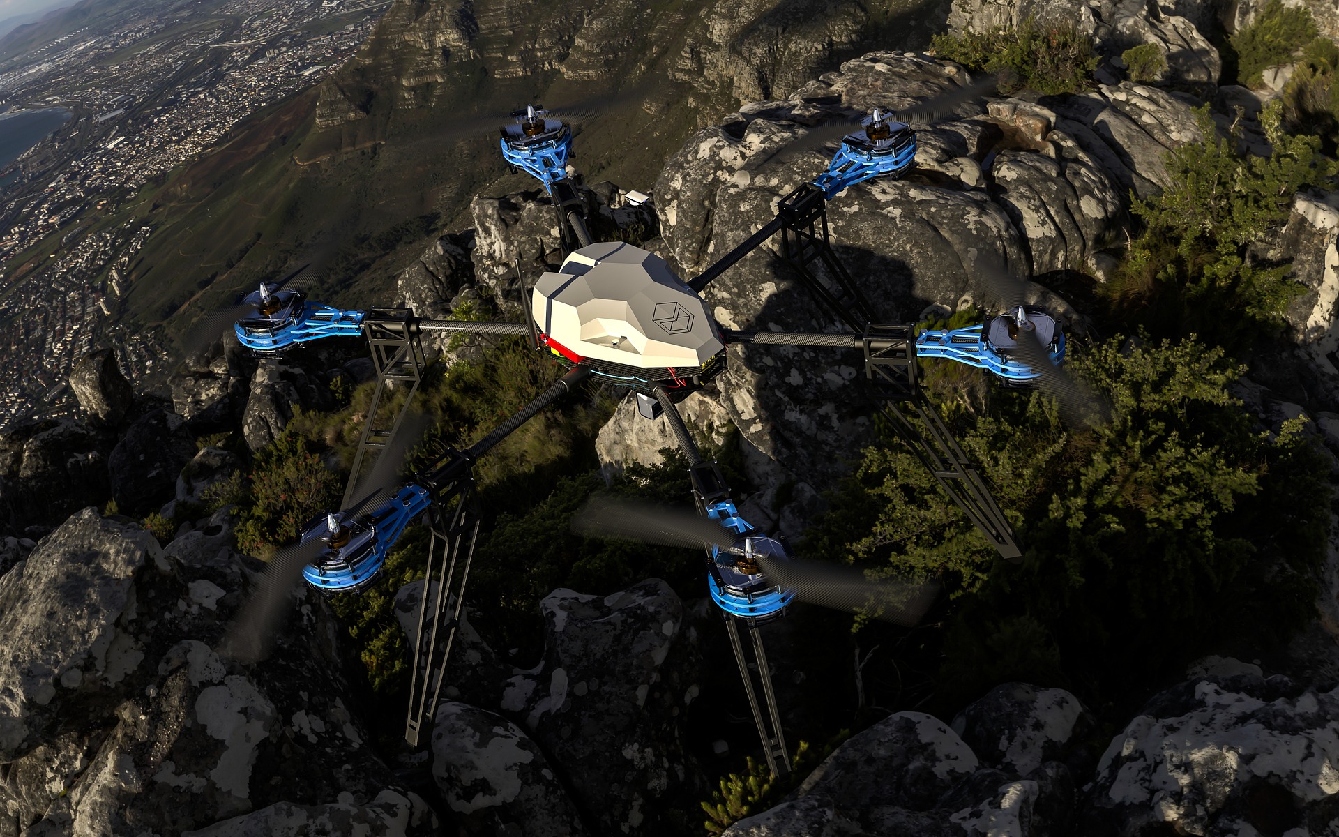
Drone use, and their integration with the A/E/C and construction industries, will likely continue to increase as the technology advances. (Source: Lee Rosario)
Today, the role of drones is to provide new data and more access. They enhance, rather than replace, our construction inspectors, surveyors, site planners, and environmental engineers.
The company DroneDeploy, in its report on industry predictions, says the future will include more automation, in-house drone programs for companies of all sizes, and greater use of drones for inspections. Also: look for advances in machine learning and artificial intelligence.
“With machine learning and AI, we are teaching machines to detect patterns and objects, make accurate measurements, and transform large datasets into digestible reports,” said Nick Pilkington, DroneDeploy’s Chief Technology Officer. “That’s going to be a game changer when it comes to facilitating real-time decision-making from live drone data.”